Aerial Services
There's a drone for that.
Some jobs are simply easier when you can see the whole picture. StratoWorx provides flexible aerial drone services for property screening, land scouting, photography, mapping, hard-to-reach areas, and other custom applications. If there’s a smarter way to handle the job from the air, we’ll help you find it.
The advantages.
We start by looking at what you need to see, inspect, or document and figure out the best way to approach it from the air. From there, we plan the flight, capture the footage or data you need, and make the process as simple as possible. No complicated setup, just a practical aerial solution built around the job.
What can I use it for?
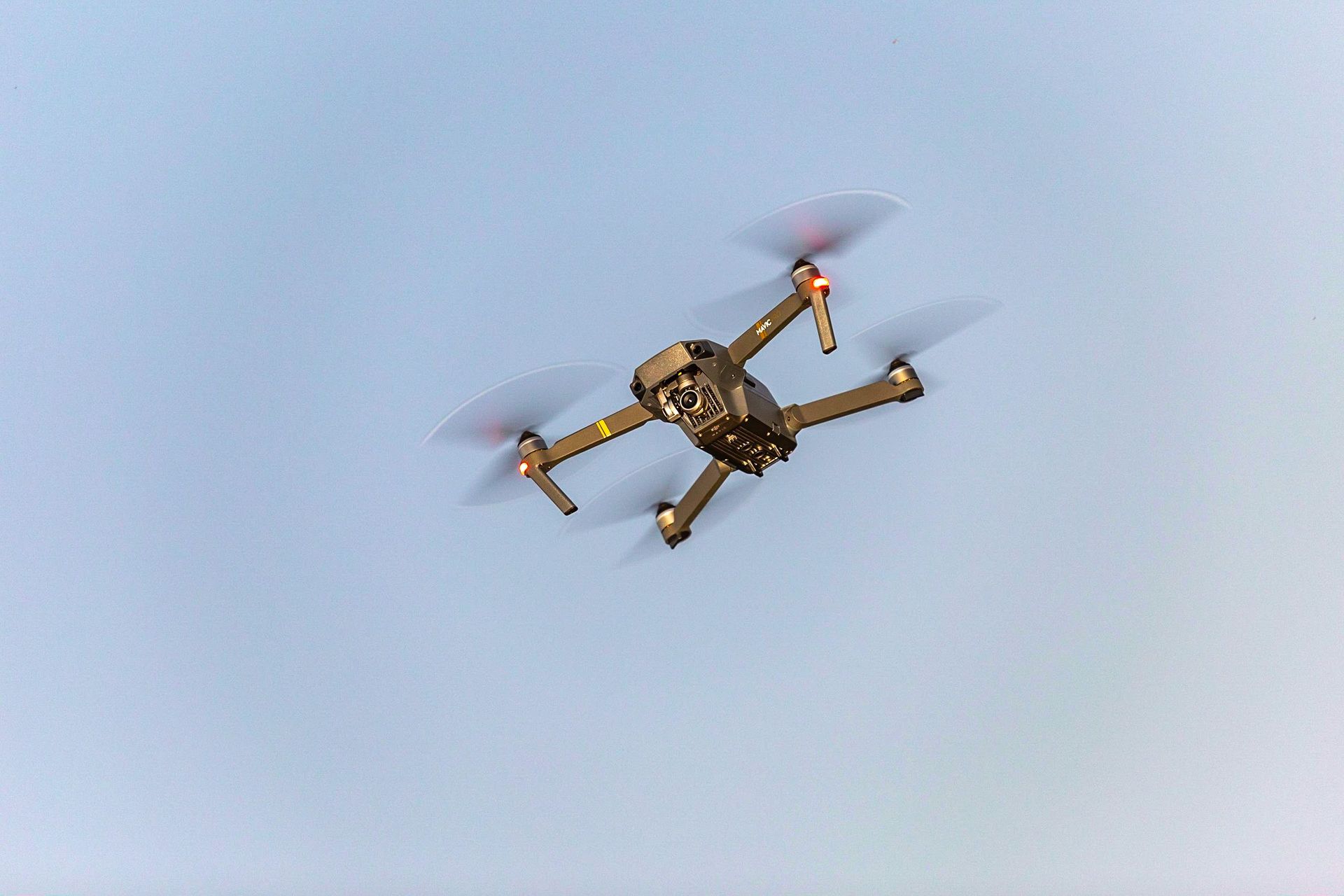
Sometimes the fastest way to understand a property, field, structure, or hard-to-reach area is to get above it. Drones give you a wider view, better access, and a safer way to inspect places that can be difficult from the ground. That means less guesswork and a clearer picture of what’s going on.
