5 Things to Look for From the Air After Harvest

When harvest is over, your fields have plenty to tell you.
Once the crop is out of the field, attention naturally starts shifting toward equipment, next season, and everything that needs to happen before planting begins again. But the weeks after harvest also provide a great opportunity to take a closer look at the condition of your acreage.
Or, in this case, a higher look.
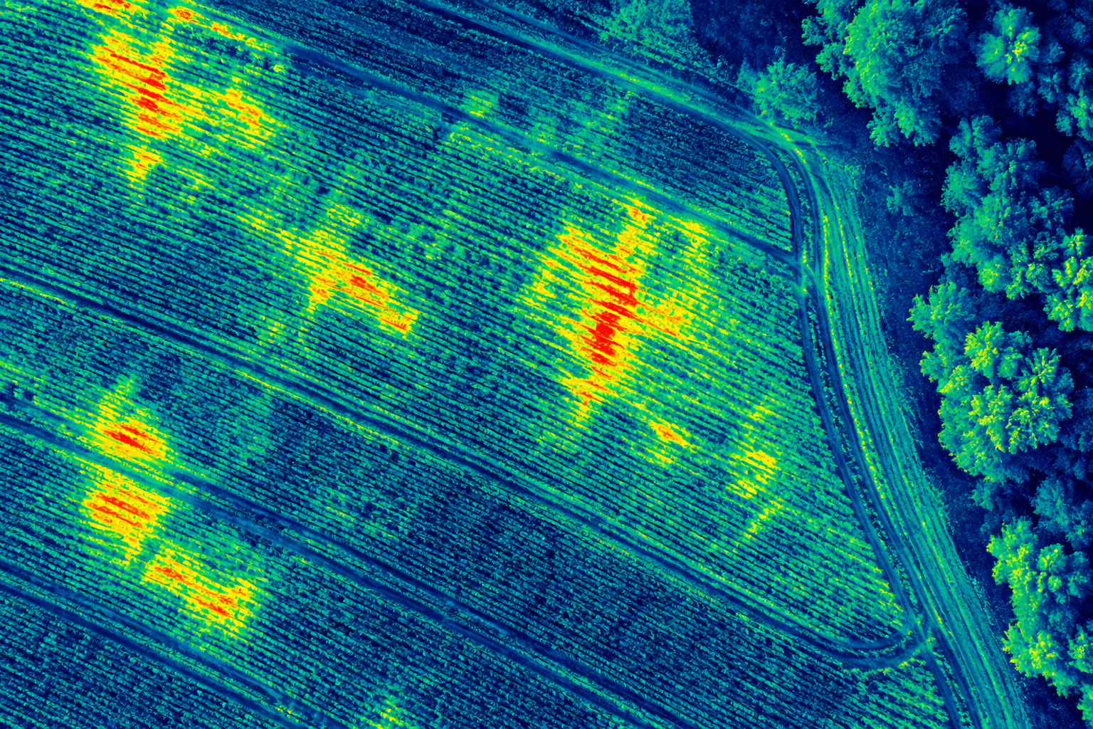
Agricultural drone scouting can give farmers a different perspective on fields after harvest, making larger patterns and problem areas easier to identify. Across Southern Indiana, Southern Illinois, and Northern Kentucky, aerial drone services can help farmers spot issues now and start planning improvements before another growing season begins.
1. Standing Water and Drainage Problems
Once crops are out of the way, drainage patterns can become much easier to see from above.
Low spots, standing water, consistently wet areas, and drainage paths may be difficult to fully understand while standing at ground level. An agricultural drone can provide a wider view of the field, making it easier to identify where water is collecting and how those areas relate to the rest of the acreage.
If certain areas stayed wet throughout the season, post-harvest aerial field scouting can also help document those trouble spots before planning drainage work or other improvements.
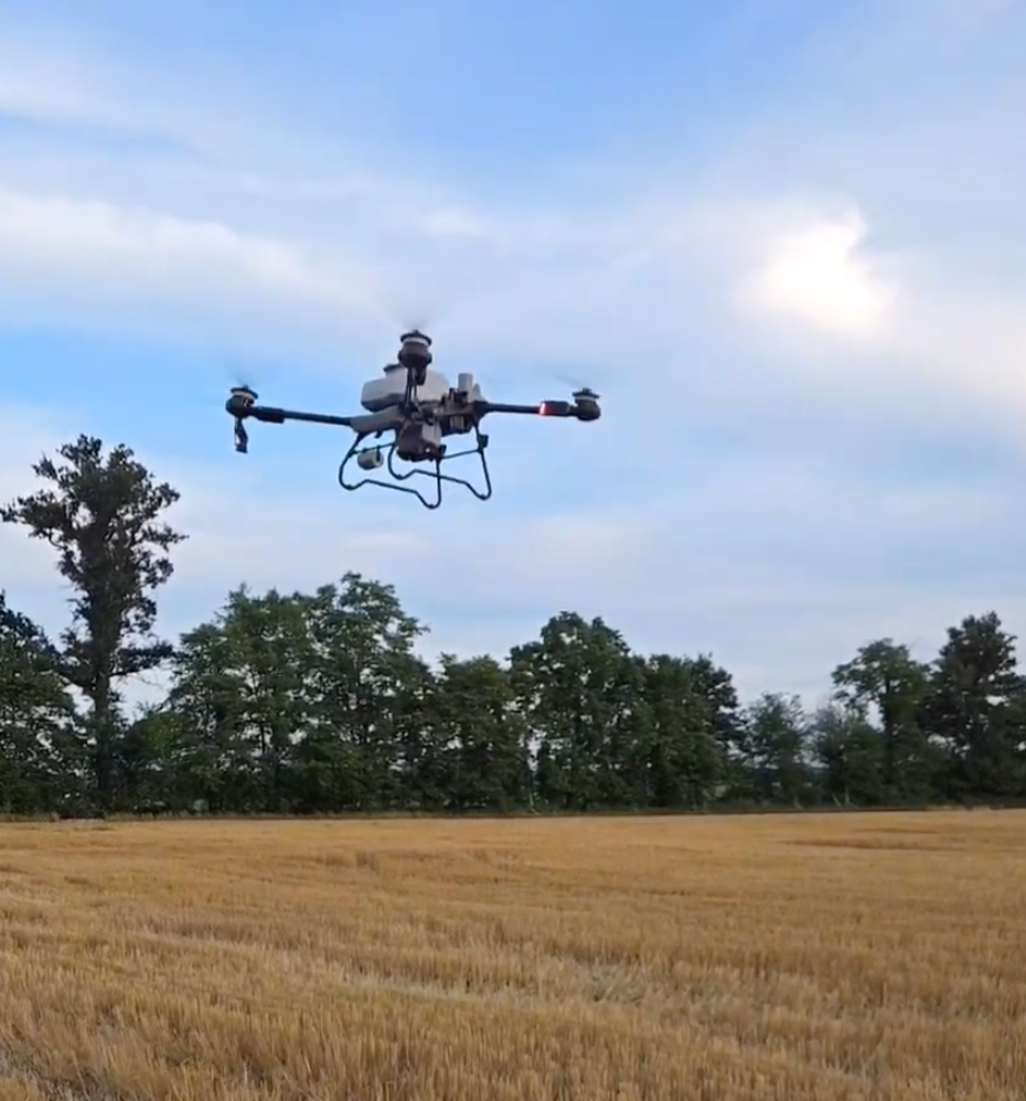
And those wet areas are worth remembering for next season. If conditions prevent heavy equipment from entering the field when an application is needed, agricultural drone spraying may provide another way to reach those acres without driving through saturated ground.
2. Erosion and Soil Movement
A season of heavy rain and runoff can leave its mark.
From the air, farmers can get a better look at washouts, channels, bare areas, and other signs that water has moved soil across the field. Patterns that seem isolated from the ground can become much more obvious when you're looking at the entire area at once.
Using drone field scouting after harvest can help identify areas worth inspecting more closely before winter and spring weather arrive.
That information can then help guide decisions about field preparation, drainage, erosion control, and other plans for the coming season.
3. Areas That Didn't Perform Like the Rest
You probably already know which fields had a good year and which ones gave you trouble. What can be harder to see is the pattern within the field itself.
After harvest, an aerial drone survey can provide a broad view of areas that look noticeably different from surrounding acreage. Those differences don't automatically tell you what caused the problem, but they can show you where it's worth taking a closer look.
Maybe the issue was drainage. Maybe it was soil conditions, weeds, disease pressure, compaction, or something else entirely.
The drone doesn't replace walking the field or figuring out the underlying cause. It helps answer the first question: Where should we be looking?
4. Equipment Traffic and Field Access
Harvest leaves behind a pretty good record of where equipment has been.
An aerial view can make traffic patterns, ruts, compacted areas, entrances, and difficult access points easier to evaluate across the entire field.
This can be especially useful when thinking about how you'll approach the same acreage next season.
If certain sections consistently create access problems for traditional equipment, those may also be good candidates for precision drone spraying or other agricultural drone services.
A drone doesn't need a path through the crop. For the right application, product can be applied from above without adding another set of wheel tracks through the field.
5. Field Edges and Hard-to-Reach Acres
Not every field is a perfect rectangle.
Creeks, tree lines, hills, waterways, irregular boundaries, narrow sections, and other obstacles can create acres that are simply more difficult to manage with larger equipment.
Looking at those areas from above can help you see how they connect to the rest of the field and plan for them before next season.
These are also areas where drone crop spraying can make a lot of sense. Agricultural spraying drones can reach acreage from above without needing the same physical access as traditional ground equipment.
Instead of waiting until an application is needed to figure out how you're going to reach a difficult section, you can identify those areas after harvest and have a plan ready.
Turn This Year's Fields Into Next Year's Plan
Post-harvest drone scouting isn't just about getting some interesting pictures of the farm.
It's an opportunity to step back and look at the bigger picture.
Drainage problems, erosion, difficult access, irregular field edges, and other trouble spots can all become easier to understand when you can see the entire field from above. And once you know where the challenges are, you can start deciding where aerial scouting, precision agriculture, and agricultural drone spraying could help next season.
Stratoworx Drone Solutions provides agricultural drone services throughout Southern Indiana, Southern Illinois, and Northern Kentucky, including aerial scouting, drone crop spraying, and custom aerial applications.
Harvest may be the end of this year's crop, but it's also one of the best times to start planning for the next one.
Recent Posts