Why Lost Pet Searches Get Harder After Dark, and How Thermal Drones Can Help
When daylight disappears, the search doesn't stop.
When a dog or other pet goes missing, daylight disappears fast. Once it gets dark, searching fields, woods, fence lines, and large rural properties becomes much more difficult—and simply walking around with a flashlight only gets you so far.
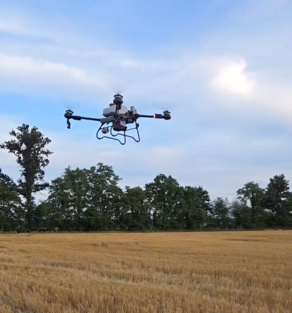
That's one situation where a thermal imaging drone can give a search a completely different perspective.
Stratoworx provides thermal drone services across Southern Indiana, Southern Illinois, and Northern Kentucky, including aerial support for lost-pet searches and other situations where covering more ground matters.
Darkness Changes the Search
During daylight, you may be able to spot movement across a field or see an animal along a tree line. At night, that visibility disappears.
A pet could be relatively close and still be hidden by darkness, brush, terrain, or tall vegetation.
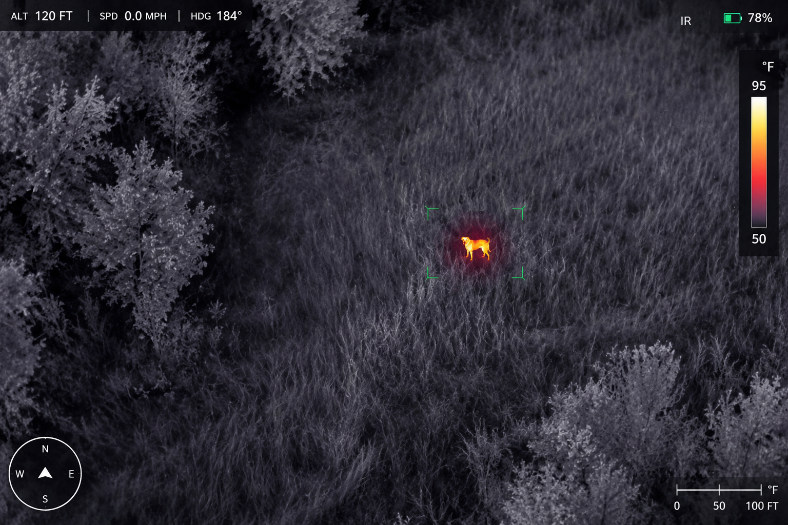
A thermal drone camera doesn't rely on visible light the same way a traditional camera does. Instead, thermal imaging detects differences in temperature, allowing warmer objects to stand out against cooler surroundings when conditions are favorable.
That can give a drone operator another way to scan an area after visual searching becomes difficult.
Cover More Ground From Above
There's another problem with searching on foot: acreage gets big very quickly.
A lost animal doesn't follow property lines or stay near the road. Searching multiple fields, wooded edges, ponds, and neighboring properties can require a lot of people and a lot of time.
A drone for lost pet searches can scan large areas from above without requiring someone to physically walk every section of the property.
It doesn't guarantee that an animal will be found, but it can make it possible to check areas from a perspective you simply don't have from the ground.
Fields and Tree Lines Matter
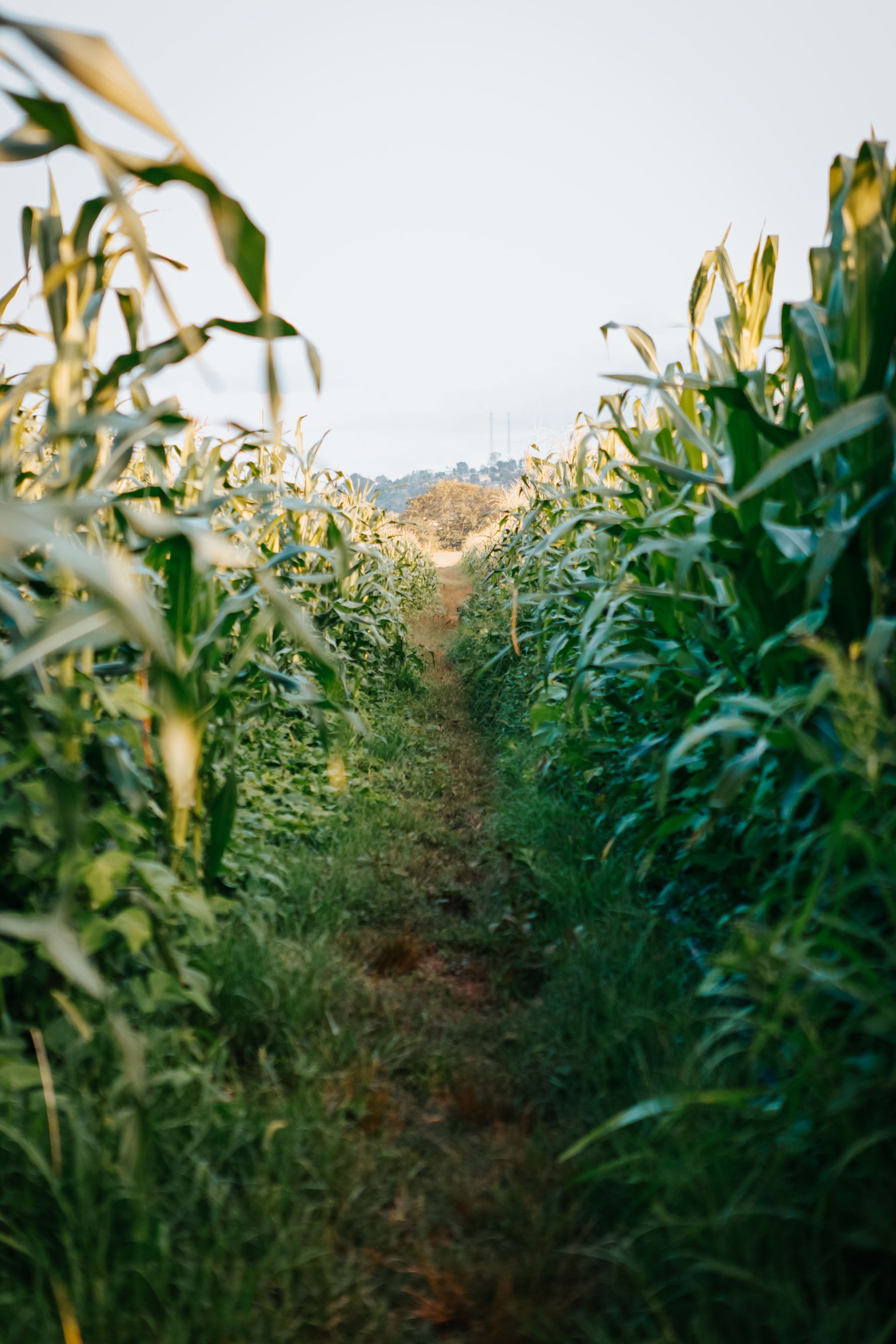
In rural areas throughout Southern Indiana, Southern Illinois, and Northern Kentucky, a missing pet can quickly move from a backyard into farmland, woods, or open acreage.
Those transitions are especially useful areas to investigate from the air.
A thermal imaging drone search can scan field edges, open ground, trails, and other areas for heat signatures that may warrant a closer look. The aerial view also helps provide context—you aren't just seeing one patch of ground at a time.
Thermal Imaging Has Its Limits
Thermal cameras are powerful tools, but they don't see through everything.
Heavy vegetation, structures, environmental temperatures, weather, distance, and other conditions can affect what the camera can detect. That's why thermal drone searches are best viewed as another tool in the search rather than a guaranteed solution.
The advantage is simple: when searching from the ground isn't giving you enough information, going up can give you another chance to spot something you've missed.
When You Need Another Set of Eyes
If a pet has gone missing across a large or difficult-to-search area, Stratoworx can help determine whether an aerial thermal search makes sense.
We provide thermal imaging drone services in Southern Indiana, Southern Illinois, and Northern Kentucky for lost pets, wildlife detection, property searches, aerial scouting, and other specialty applications.
When you've searched from the ground and need another perspective, it might be time to look from above.
Recent Posts